

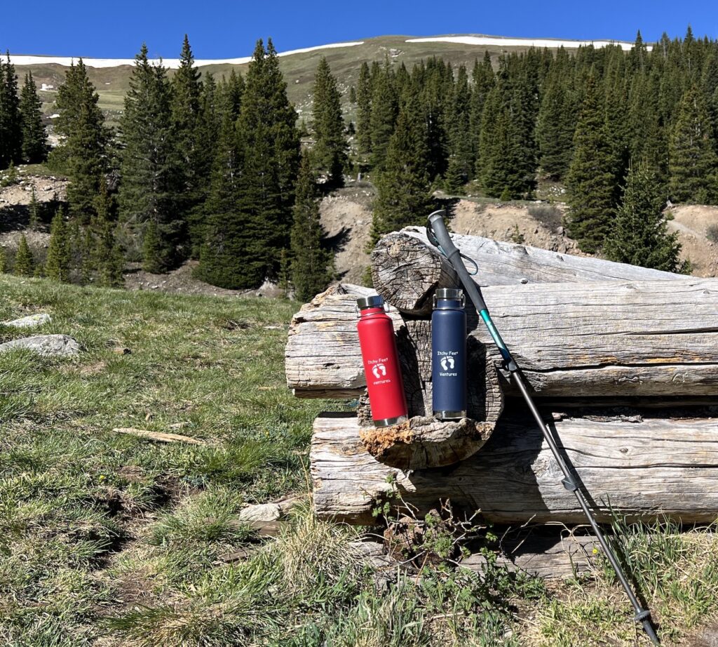
Frisco, Colorado
June 2026
TIME TO CHANGE MY ALTITUDE
I saw this somewhere and even though there are many times I enter a room and can’t remember the reason I came into the room, I remember Time to Change My Altitude. Funny how our memory works or doesn’t.
My husband and I live in Windsor, Colorado which is already sitting at 4,930 feet. The area is considered the high plains desert. I like where we live but there are times I need, yes need, the thinner air up in the mountains. It didn’t take any arm wrestling to convince my husband to go back to Frisco which sits at 9,097 feet. We rented the same VRBO we’ve rented in the past, packed our bags, loaded up the car and went.
The drive going up is beautiful. Even though it was a weekday, there was still a lot of traffic heading up to the mountains. We weren’t in any hurry.
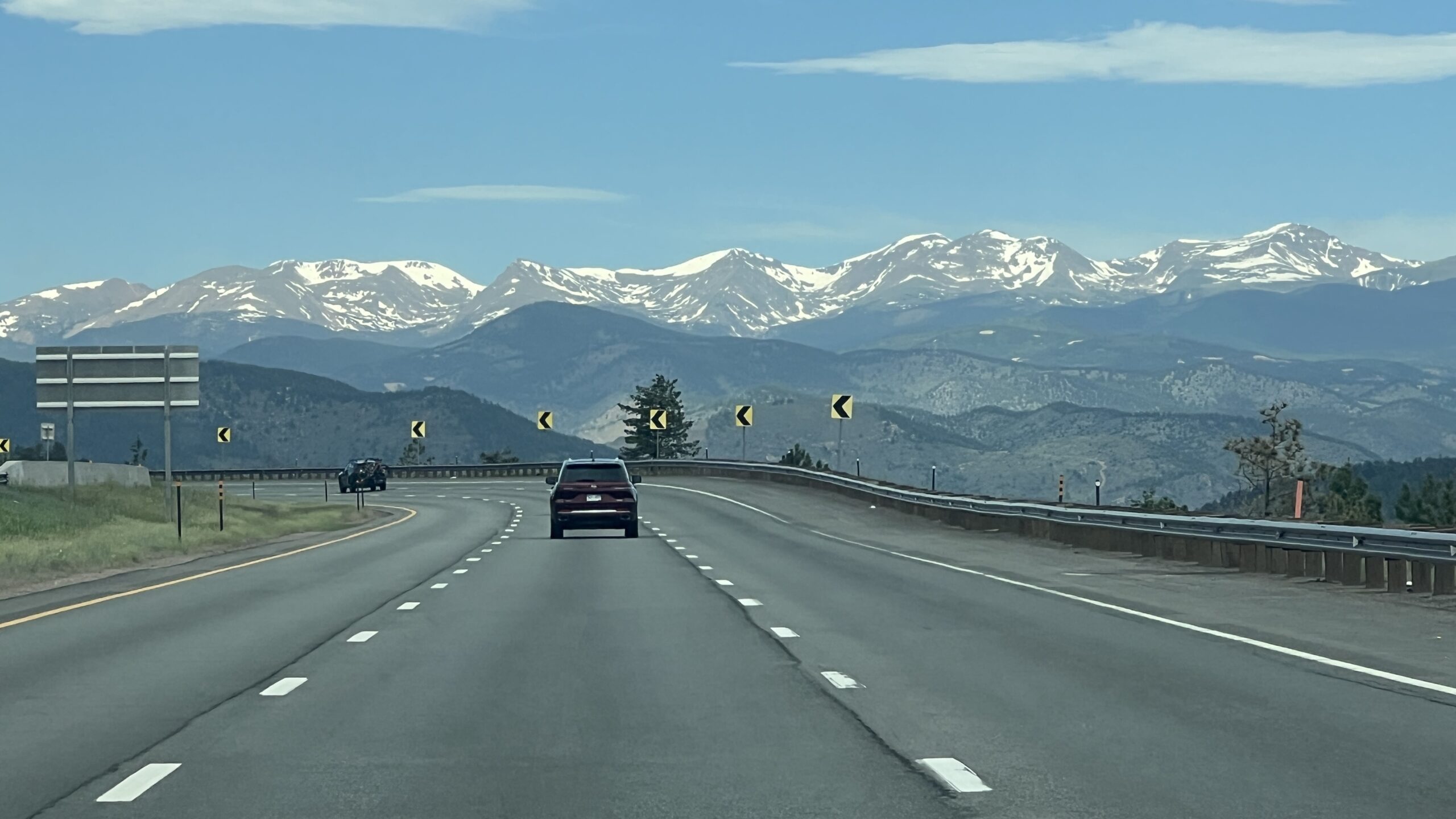
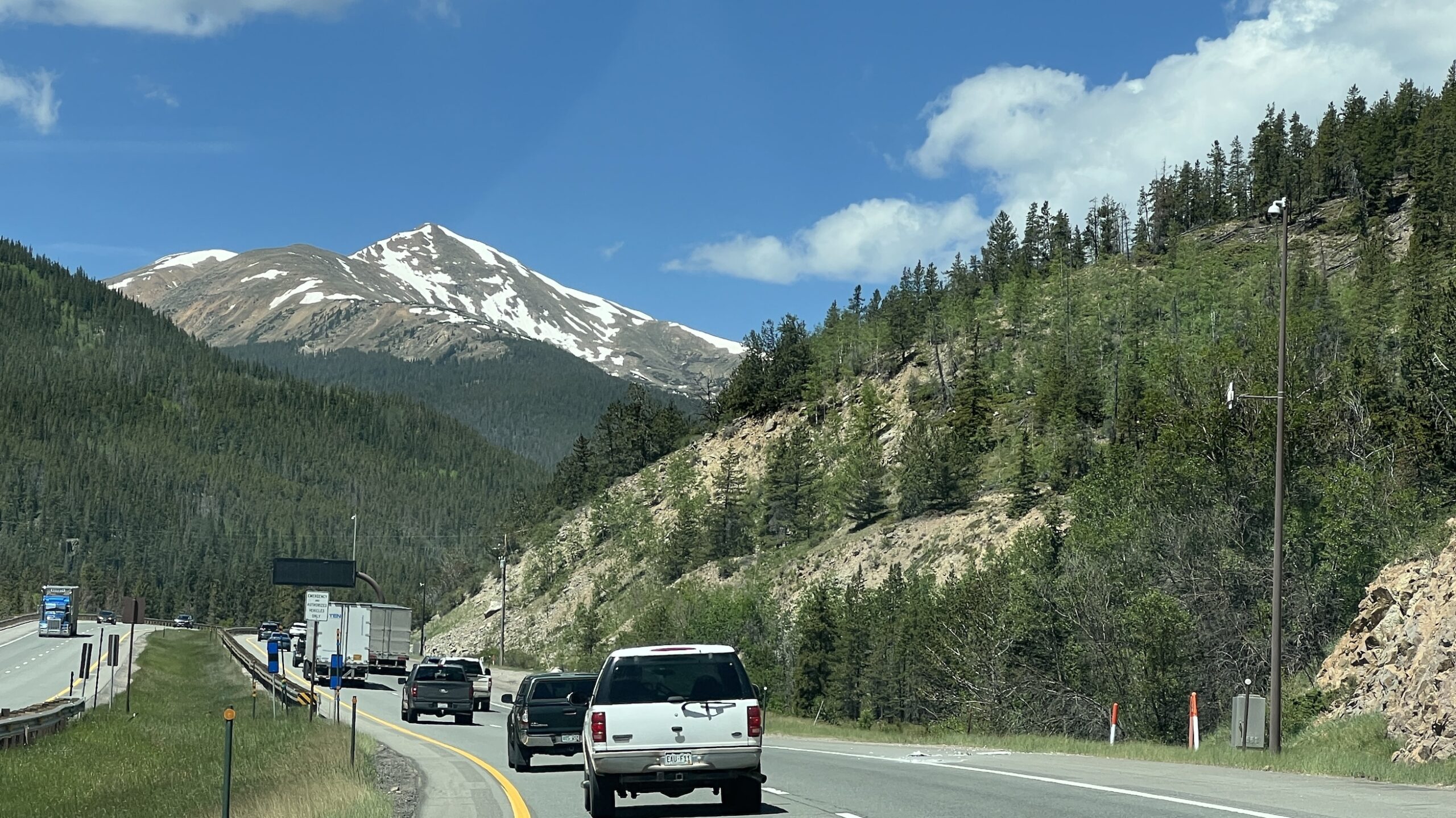
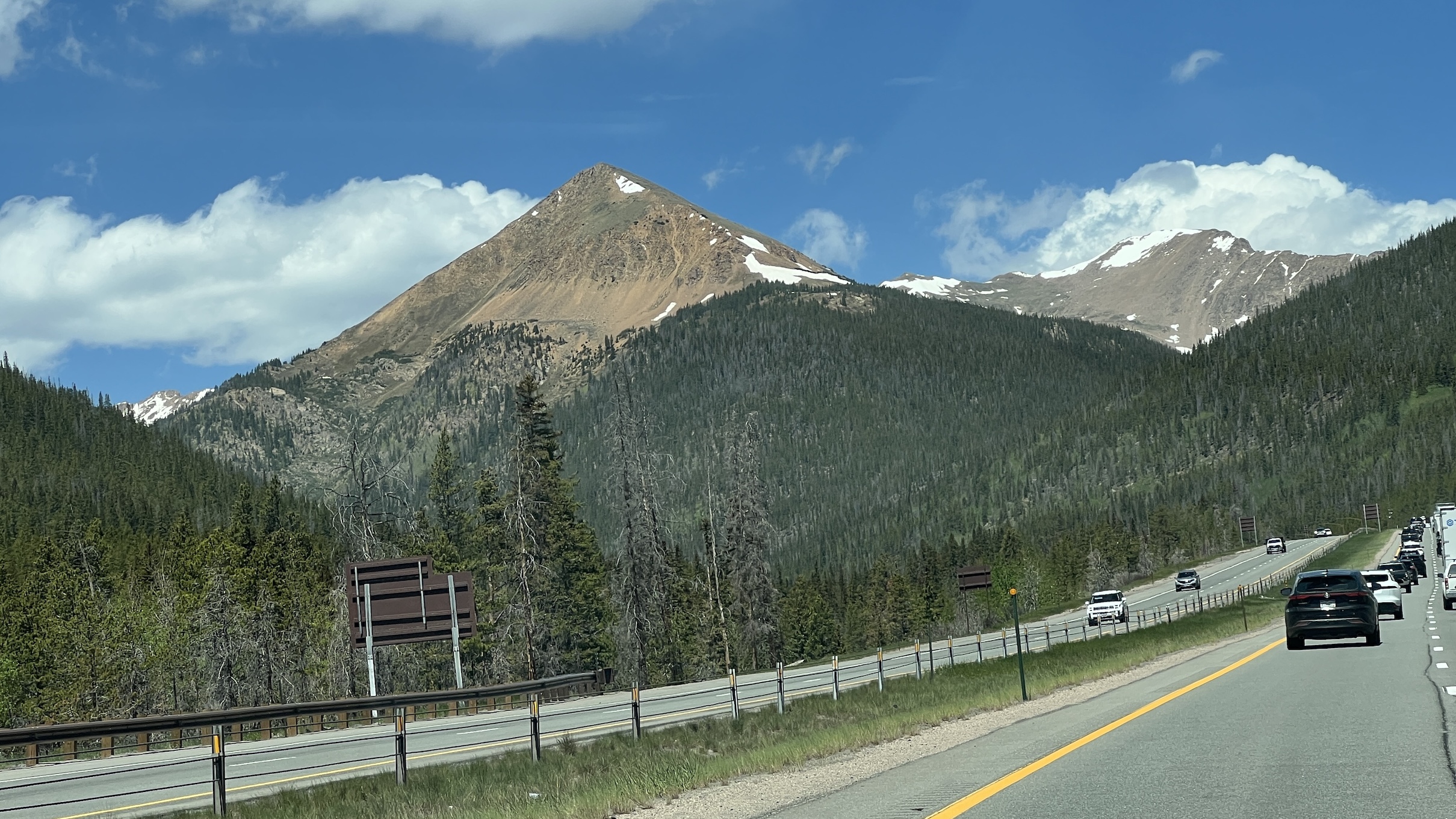
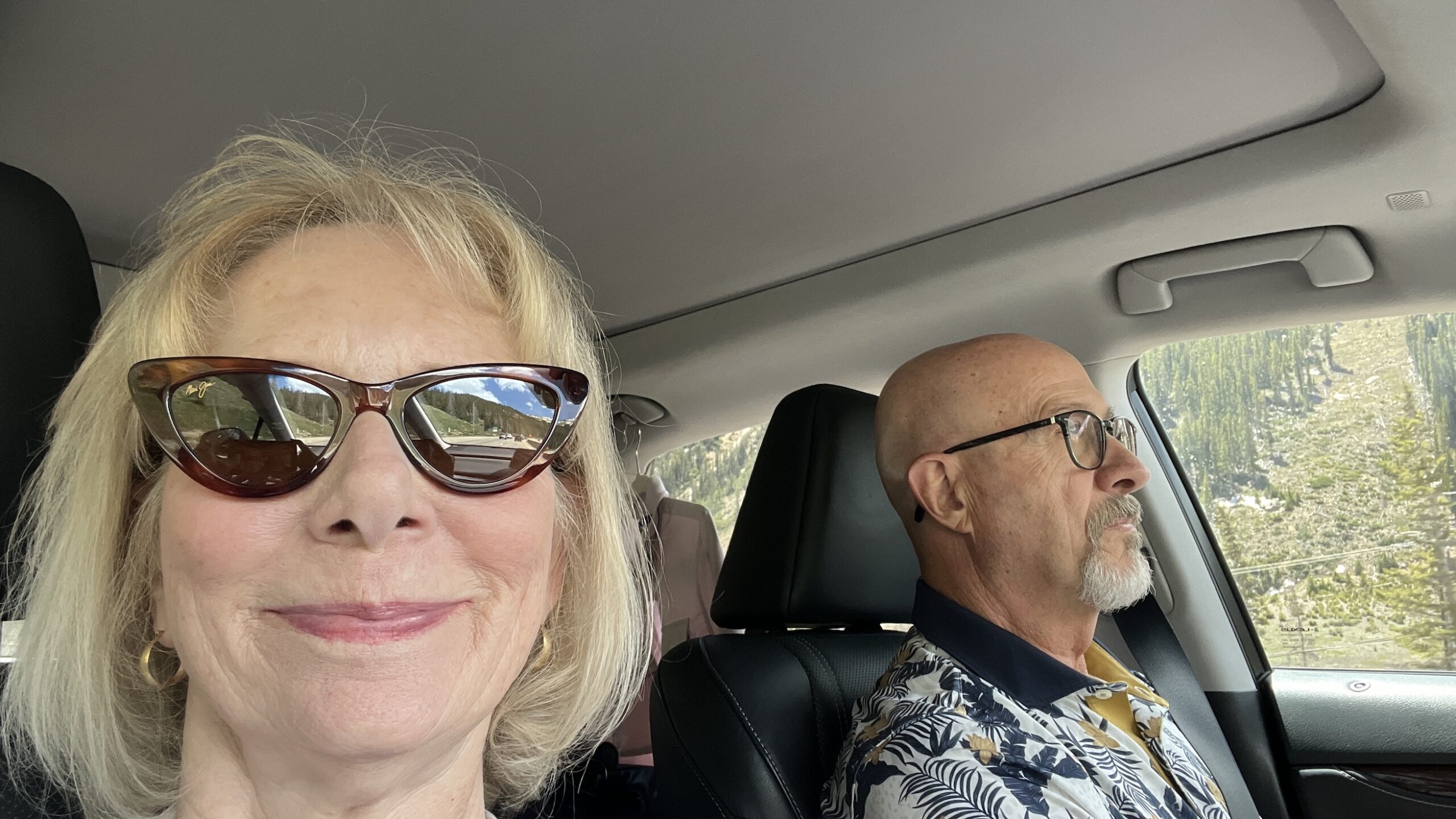
Ahh, Frisco. What’s not to like. I hope one day the mayor gives me the key to the city.
It’s only a two-hour drive from home and is a small, charming town north of Breckenridge.
From the town of Frisco, you can drive to Copper Mountain (7 minutes), Breckenridge (15 minutes), and Silverthorne (10 minutes). Or just stay in Frisco where there’s plenty of shopping, restaurants, and coffee shops.
On the day after our arrival, we planned to go on a hike. What we didn’t plan on was the wind. An amazing fact—you can’t control the weather. The wind gusts were approximately 40 mph. The hike planned was Shrine Mountain. We had hiked it on our last visit and it’s one of our favorites. BUT, unfortunately, most of this hike doesn’t have a windbreak. It’s wide open.
Change of plans. When you travel you gotta be able to pivot or just go to a bar and drown your sorrows. We’ve got plenty of breweries where we live so we decided on another course. We decided to drive the scenic Boreas Pass Road.
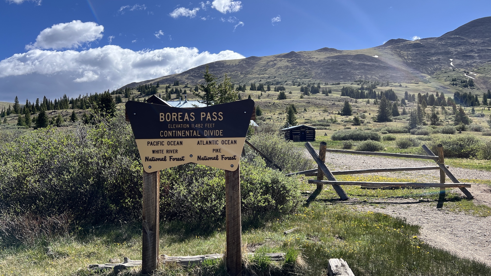
Boreas Pass Road was a former narrow-gauge railroad. The road is a 22-mile dirt gravel road from Breckenridge to the ghost town Como. I think Como is a ghost town in the sense there is nothing there. Don’t blink.
The Boreas Pass Road summits the Continental Divide at 11,482 feet. The gravel road isn’t smooth and there are some very narrow parts of the road where if you meet an oncoming vehicle you’d be playing chicken. We were driving our Lexus RX 350 and my husband almost had me convinced we needed a more rugged vehicle to do roads like this. I said almost. Don’t fret if you don’t have a monster truck. He drove slow and we did just fine. Just a little bumpy at times. This road is not a destination, it’s a journey.
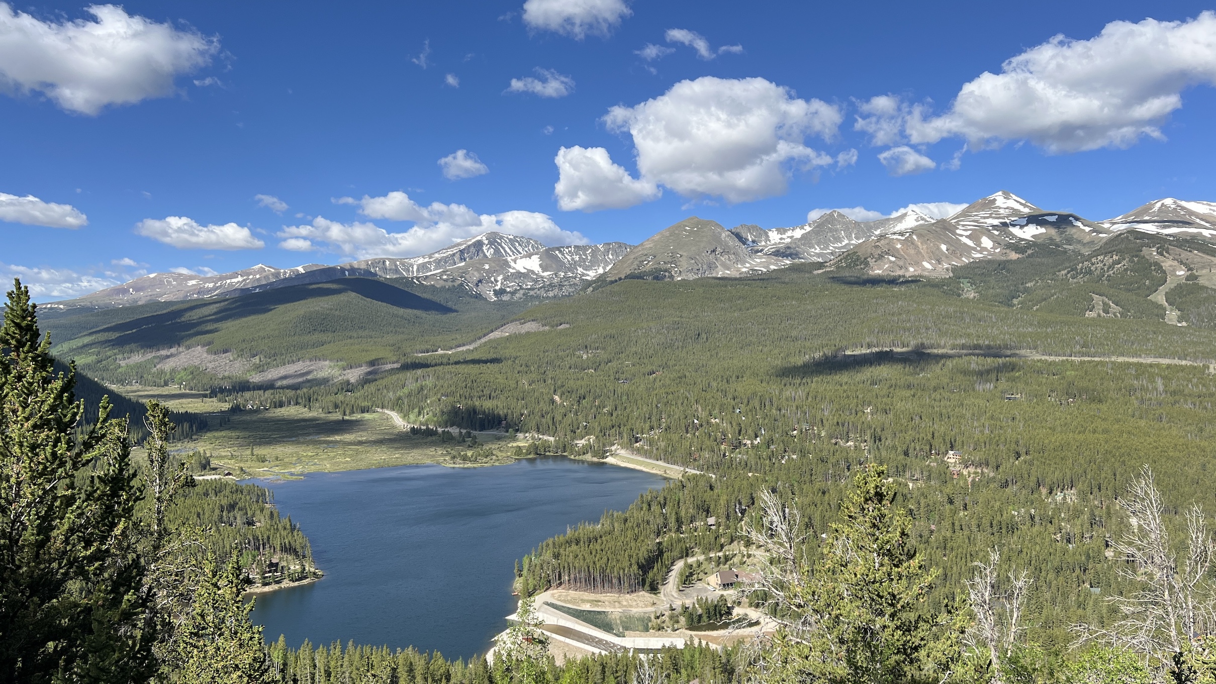
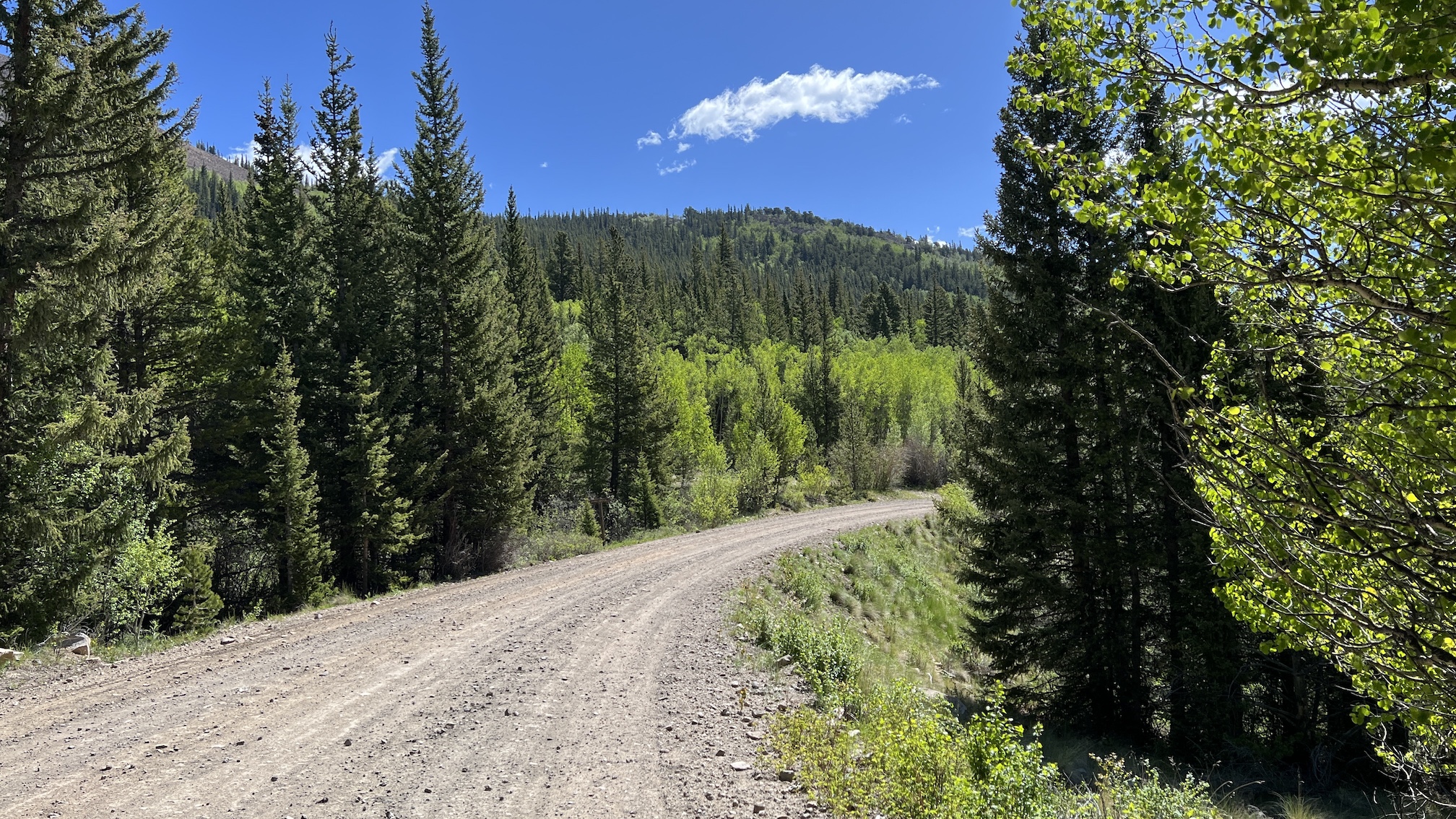
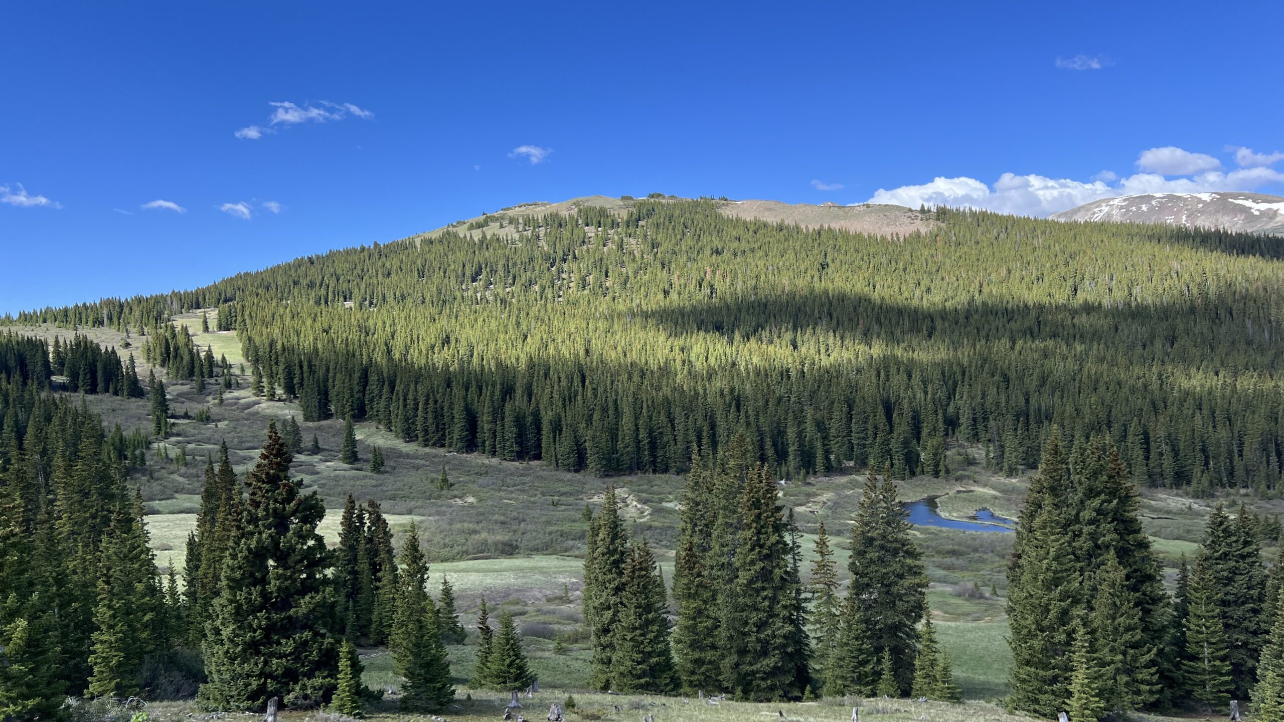
BTW, It’s pretty cool to be at the Continental Divide.
History Lesson with no test afterwards
The road originally began as Breckenridge Pass in the 1860s as a route to reach the gold mines. It was widened to a wagon road that could handle stagecoaches in 1866. In 1882 a railroad track was laid, connecting Como and Breckenridge. It ran until 1937. It was made into an automobile pass in 1952.
Boreas Pass was originally the nation’s highest narrow-gauge railroad, running from 1872 to 1938. During WWII the train tracks were picked up for resources. In 1952 the pass was converted into an automobile-friendly road.
Take your time on the drive, as the sights are spectacular and the journey is the attraction. At the top of Boreas Pass is the Section House, part of a former railroad community of 150. It is presently open during the winter season for rental by cross-country skiers.
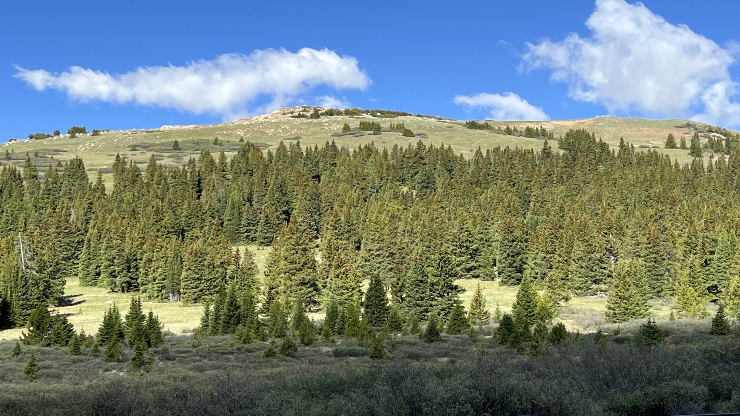
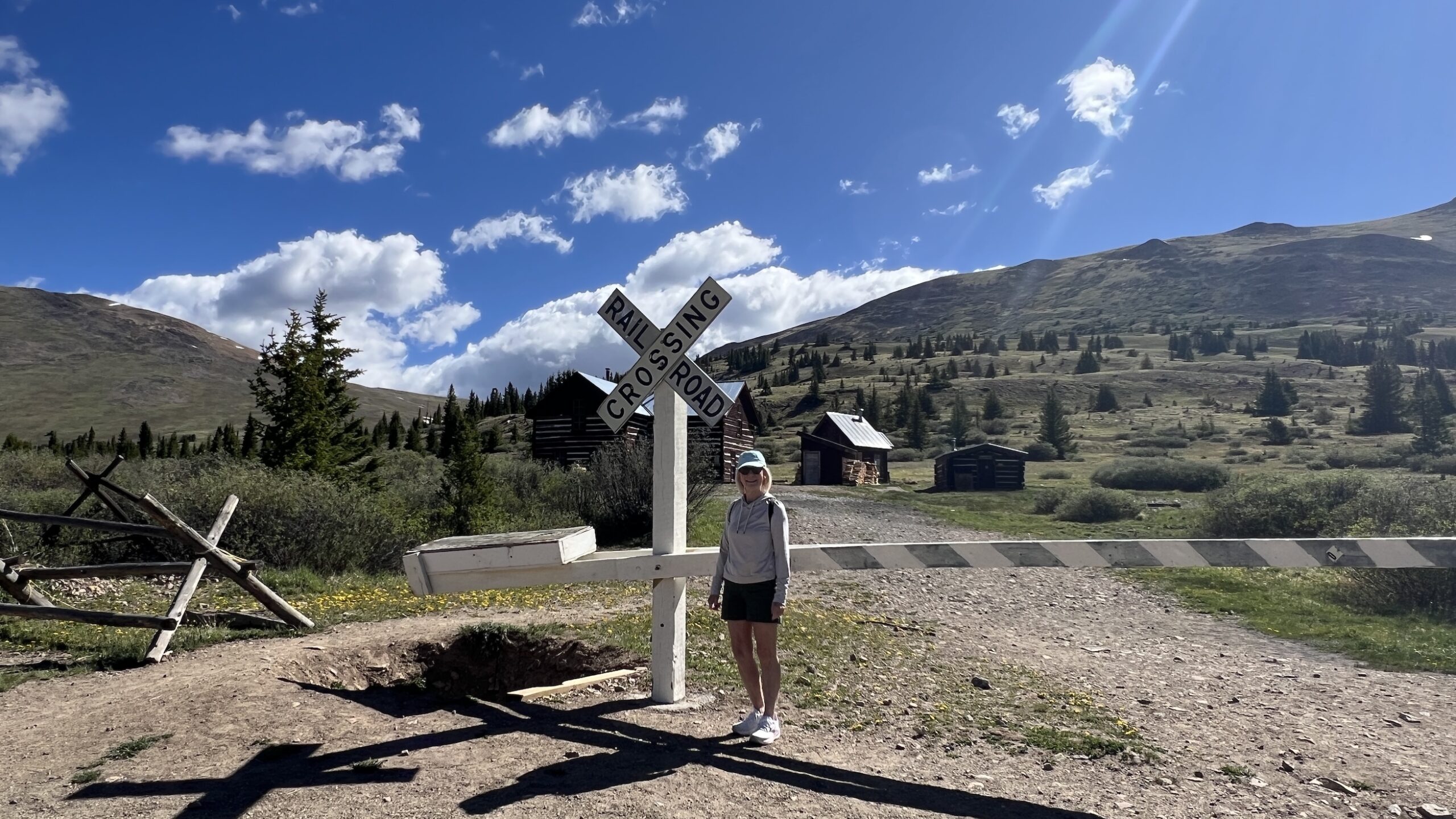
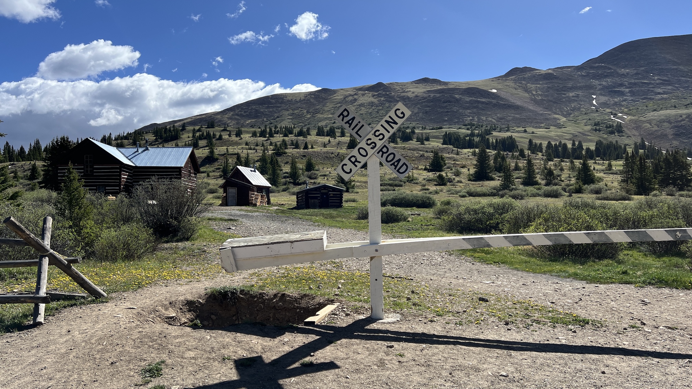
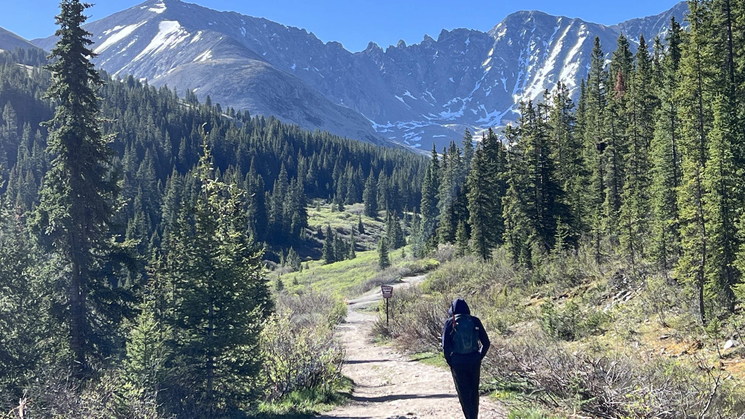
On our second day, the wind was somewhat calmer. We decided to do a favorite short hike, Mayflower Gulch. The last time I did this hike I thought it was easy but this day I was the little engine that could, huffing and puffing my way up. The hike is about 3 miles round trip to the historic mining cabins.
Mayflower Gulch is off Highway 91 between Cooper Mountain and Leadville. A short drive from Frisco.
The trail is beautiful. Even in June we needed a light jacket.
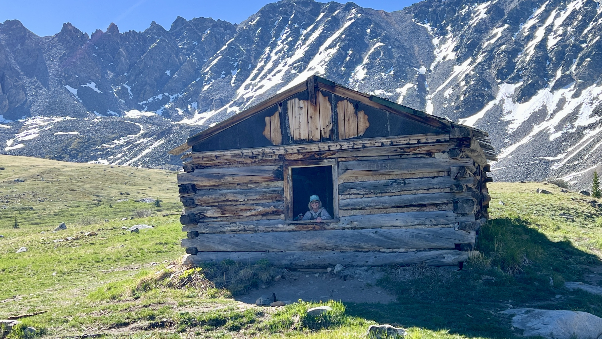
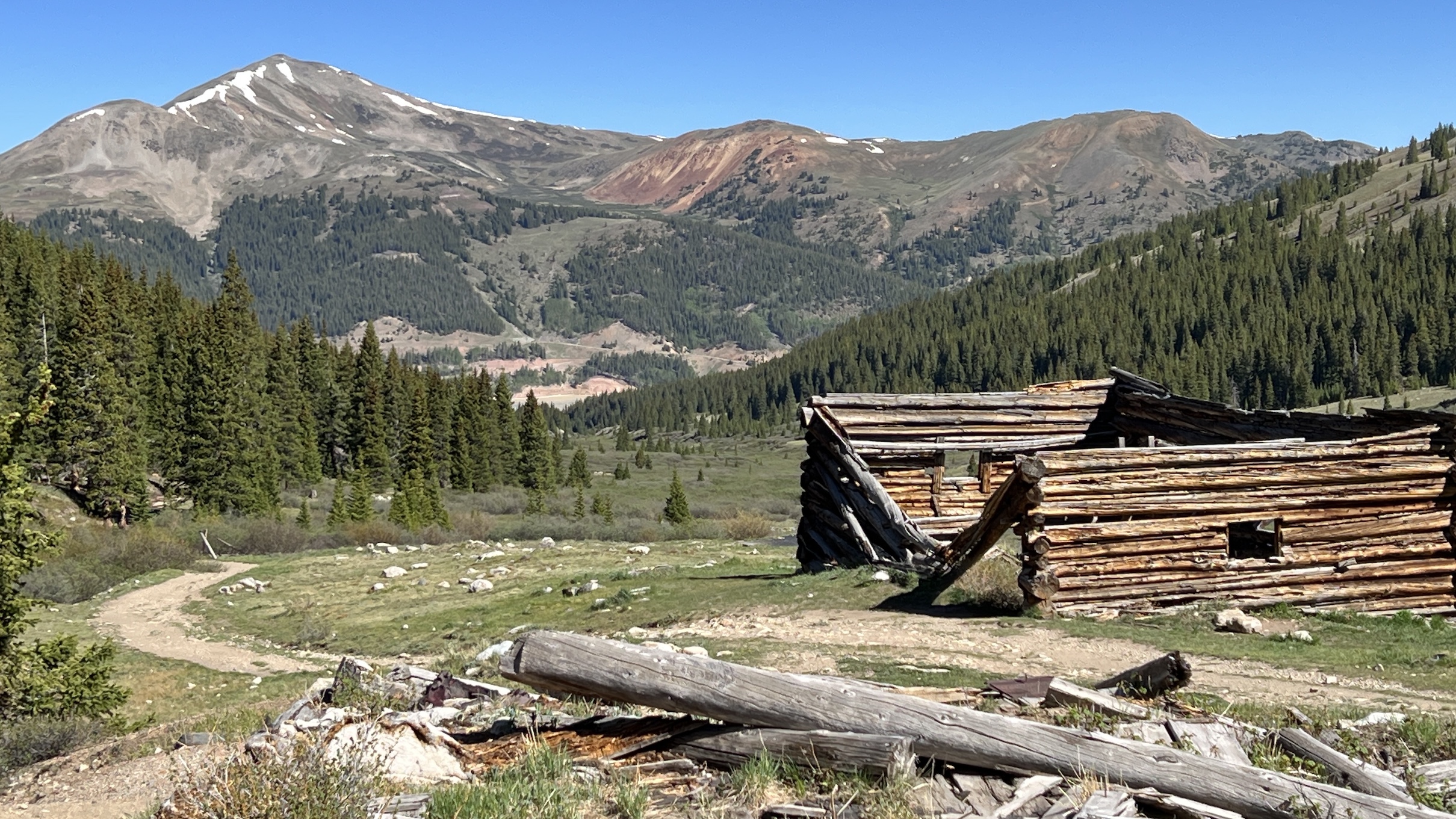
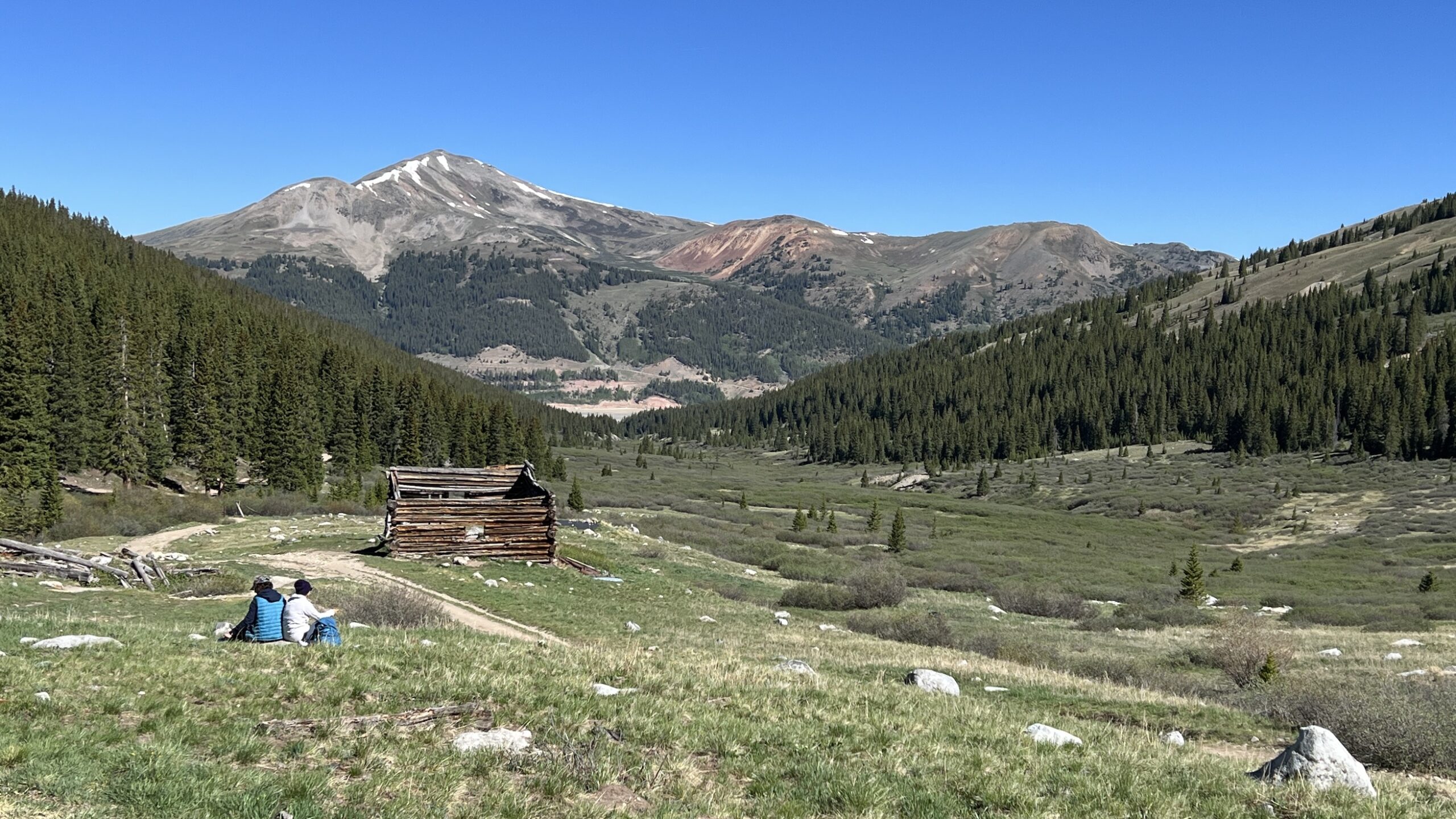
At the mining ruins, we took in the incredible view. I even had Chuck take a picture of me peeking out a window from one of the remnants of the 19th-century Boston Mine Camp.
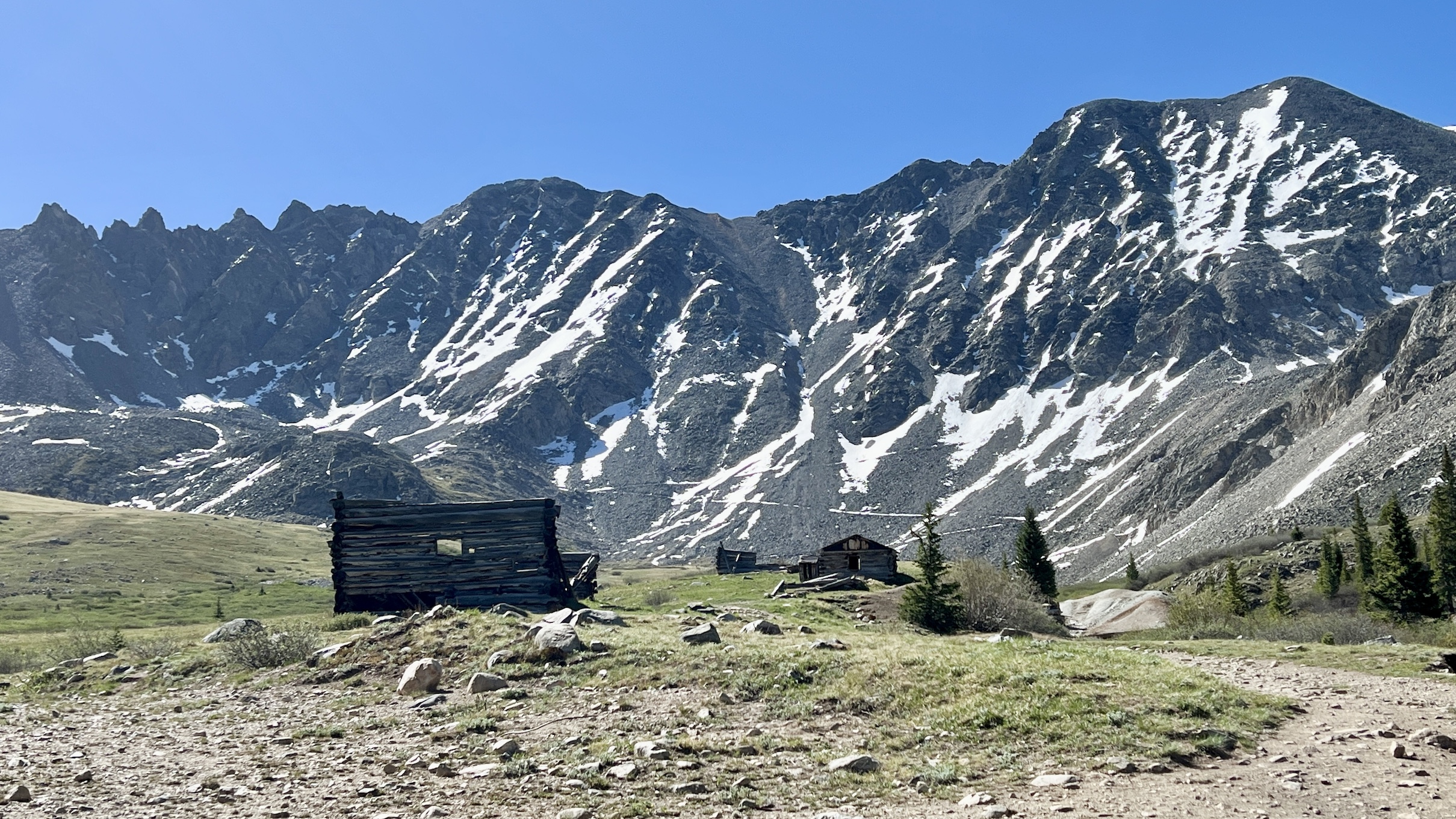
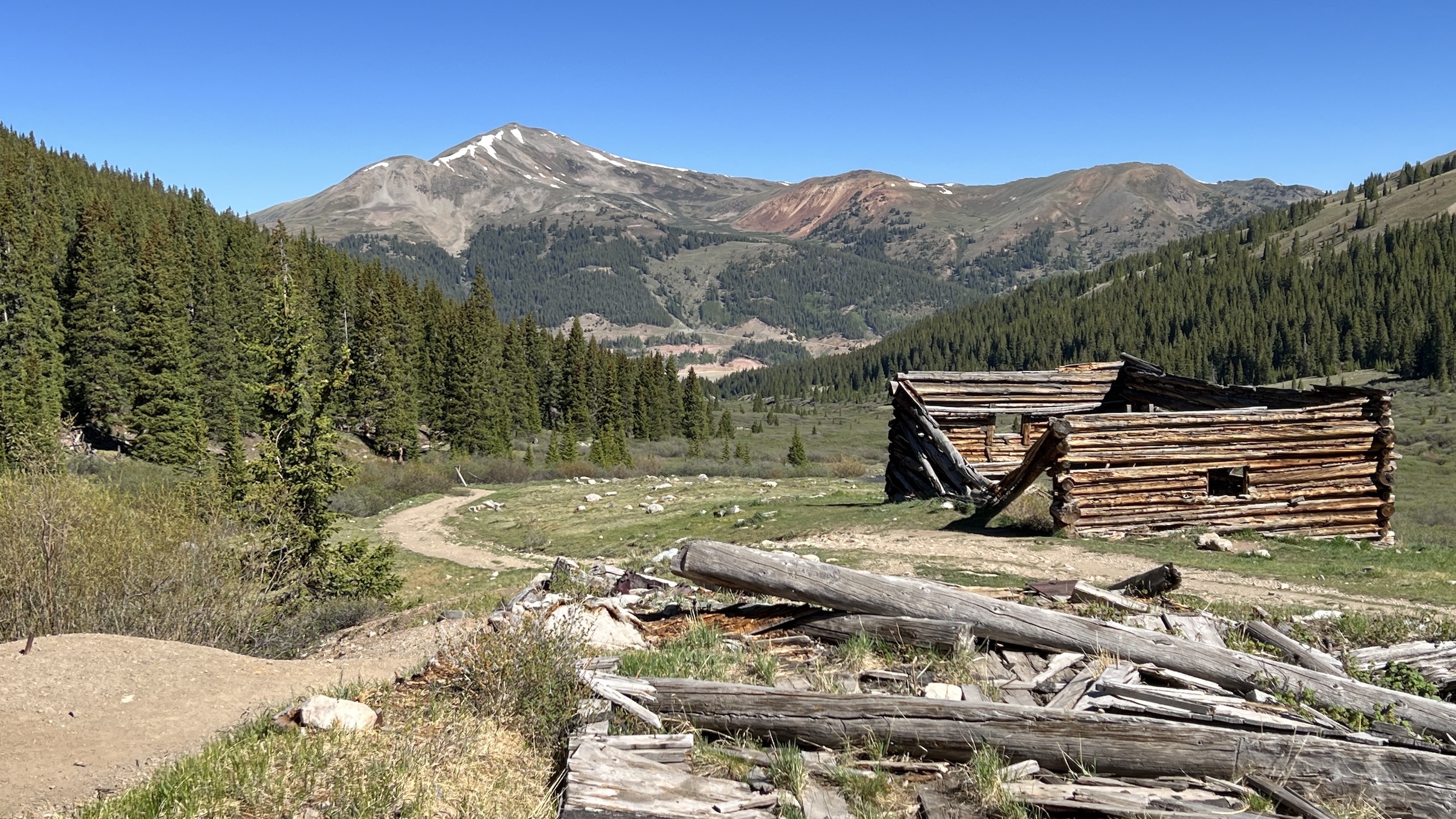
We stood at the top of the alpine basin which is over 11,000 ft elevation.
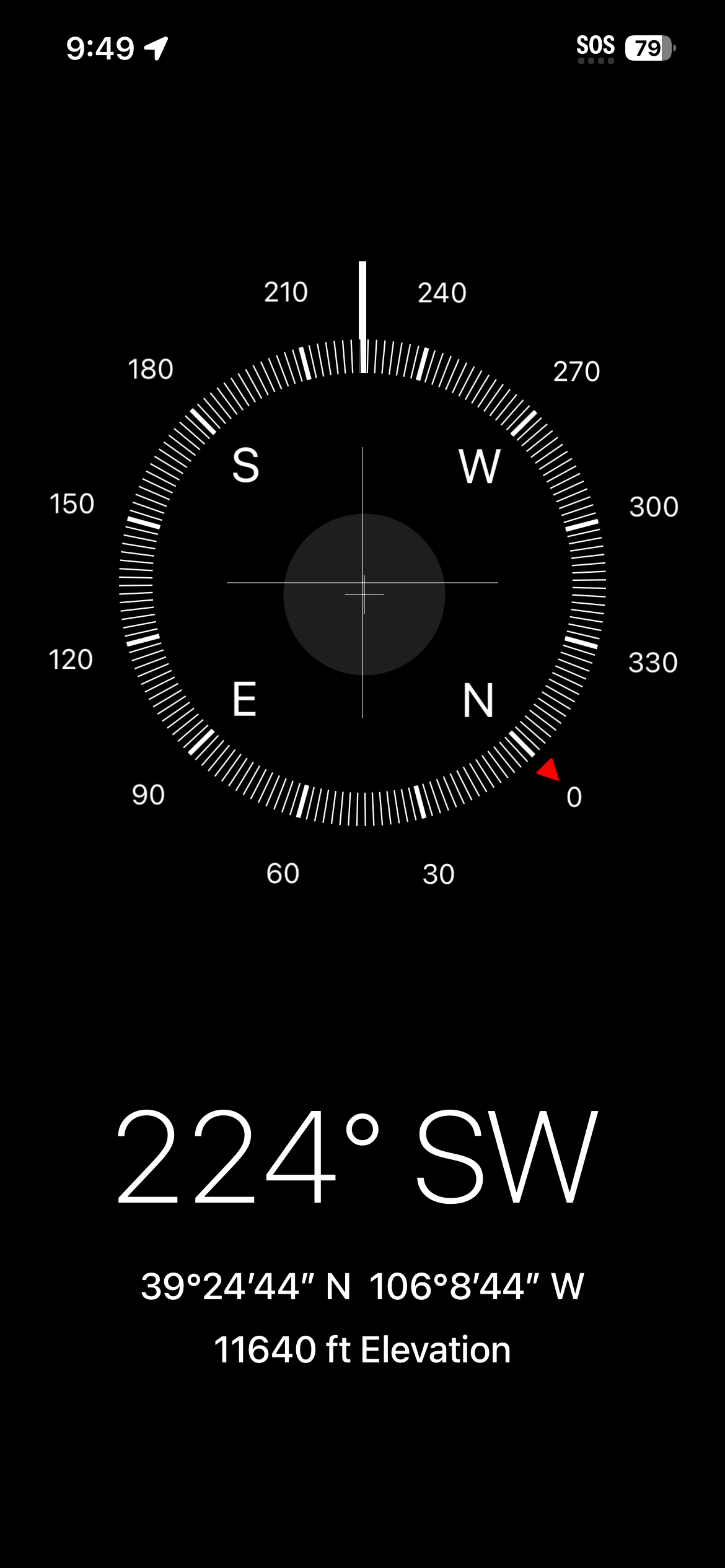
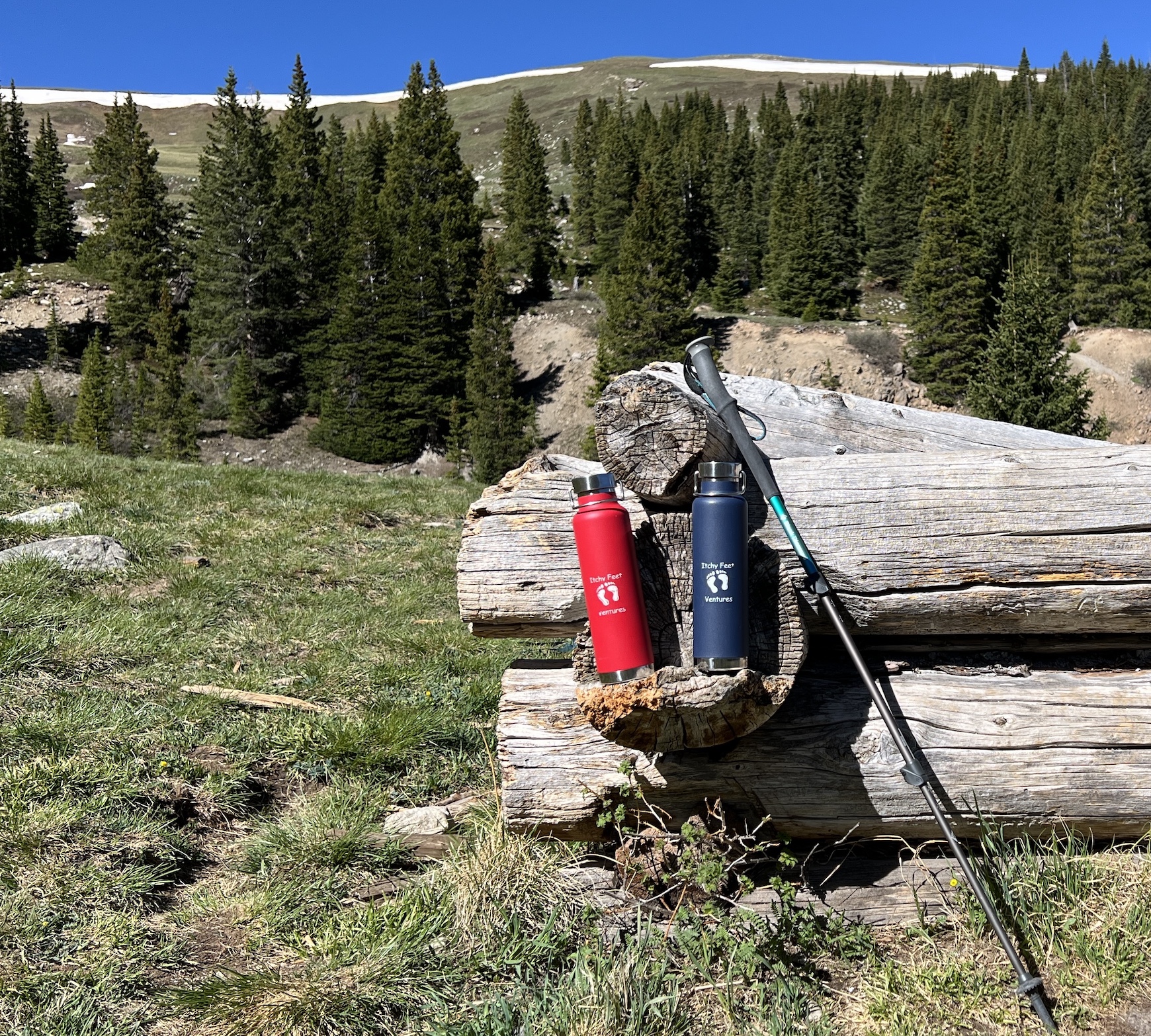
It was a spectacular day, so we hung out and had a snack. Since we had started our hike early morning, there was only one other couple up there with us. It doesn’t get much better than that.
The next day the wind picked up. What to do?
We decided to drive up to Leadville and spend some time. Our golf clubs were still in the car since we had originally planned to golf one day at Copper Mountain. But the winds were too strong, so we cancelled. The last thing on our mind was being able to golf.
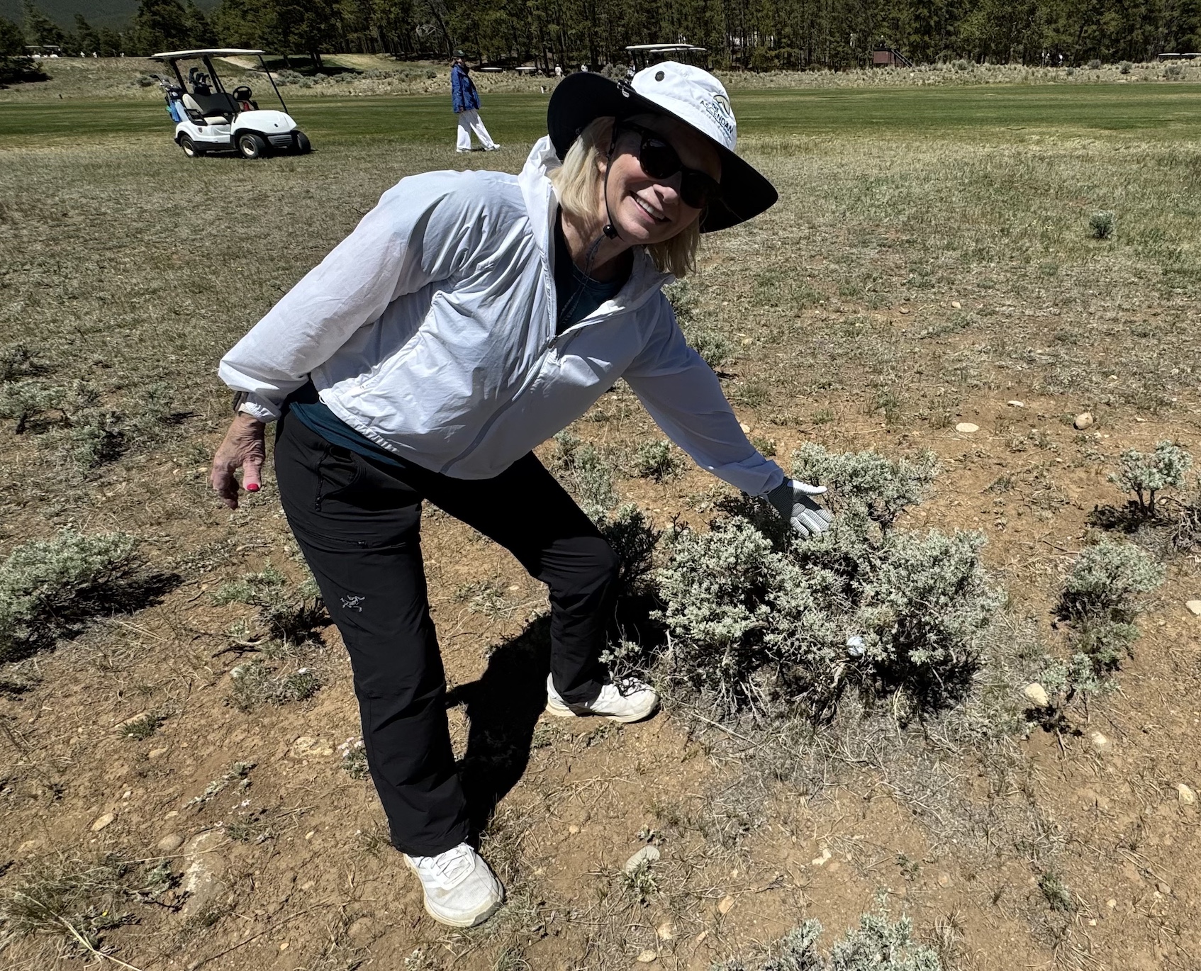
That is until I remembered I had seen something at the condo we were staying at about North America’s highest golf course on the outskirts of Leadville. I assumed it’d be very windy and I didn’t think we’d want to play, but I wanted to visit it.
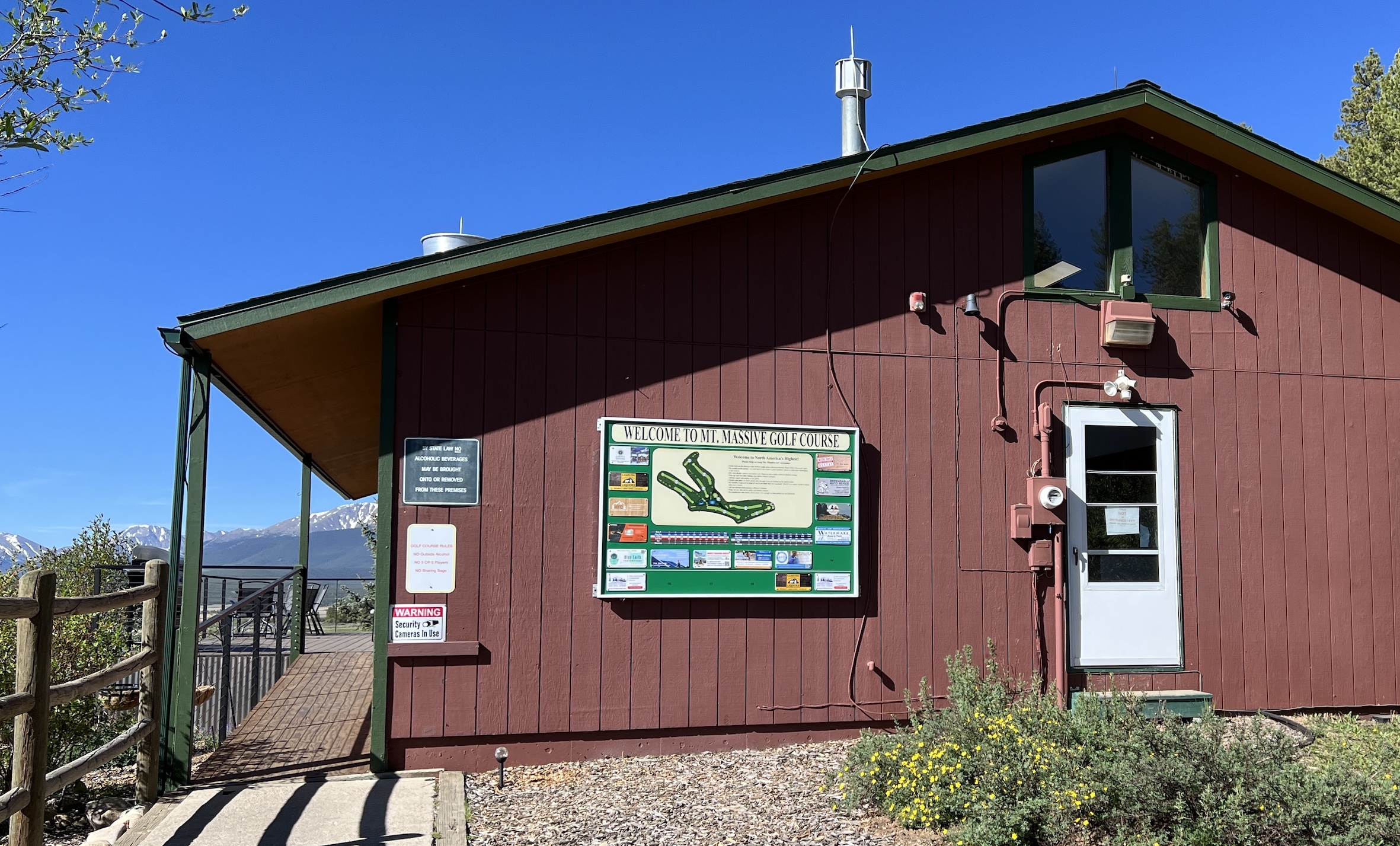
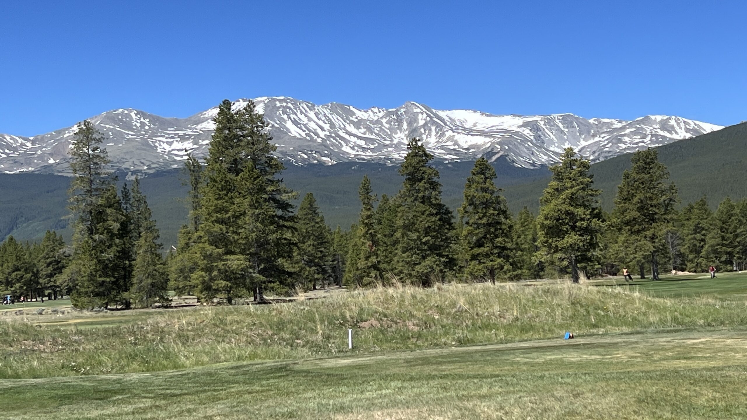
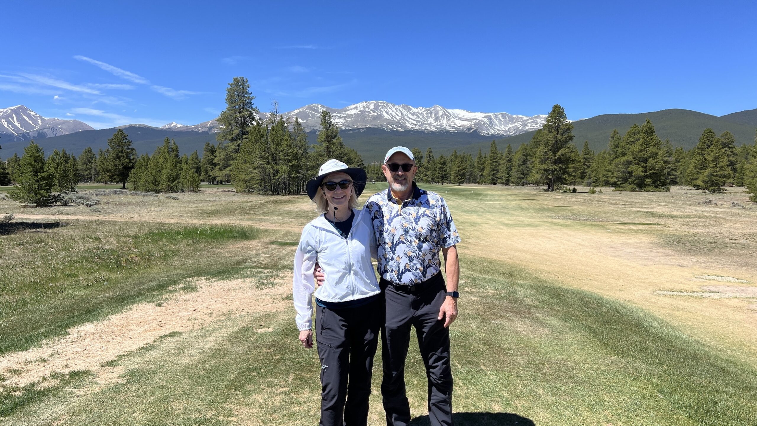
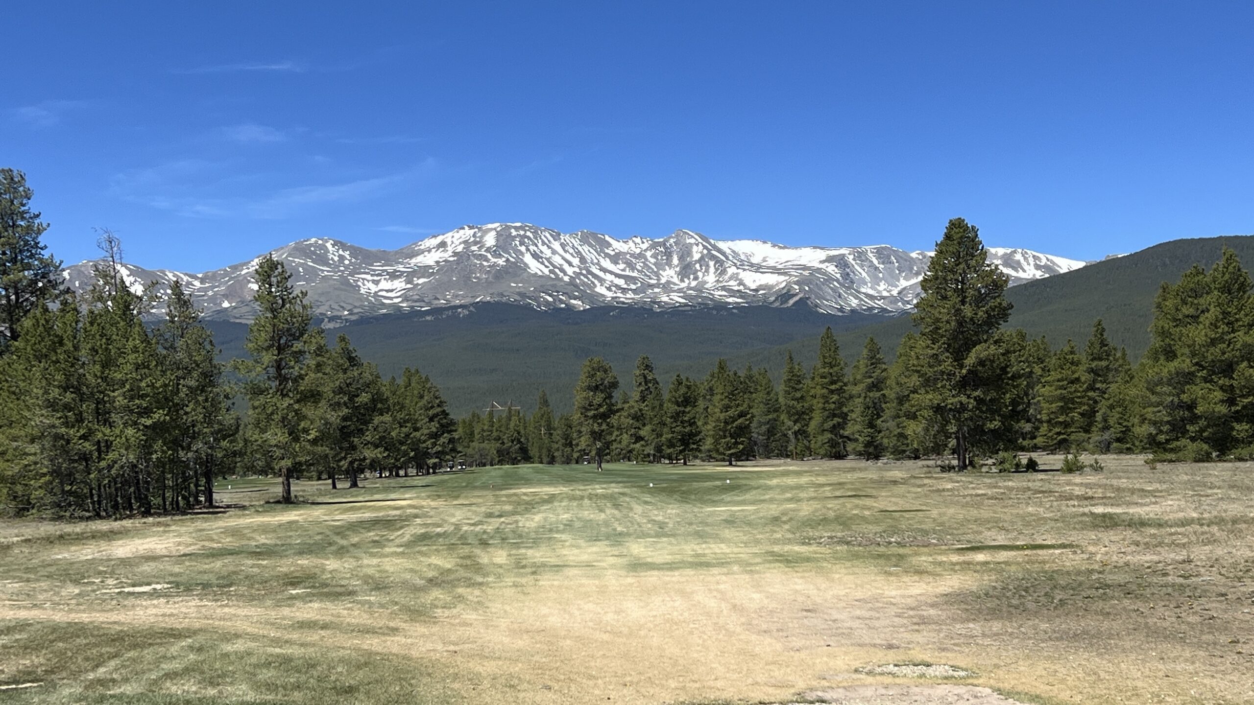
Yep, that’s right. The wind wasn’t that bad. We were told if we wanted to wait 45 minutes, there was a tee time. Who could pass up playing on the highest elevation golf course in the country. We had to do it… and it was a blast.
Mount Massive is a nine-hole public course. The course is surrounded by the tallest mountains, ranch lands and forests. Golf has been played on this site since 1930 when it was nothing but sagebrush. An irrigation system in the 1970’s greened it up.
We grabbed a bite to eat in The Grill. They have burgers, hotdogs, chicken tenders, wraps and more.
And did I mention, the staff was very friendly.
If you’re a golfer, you gotta do it.
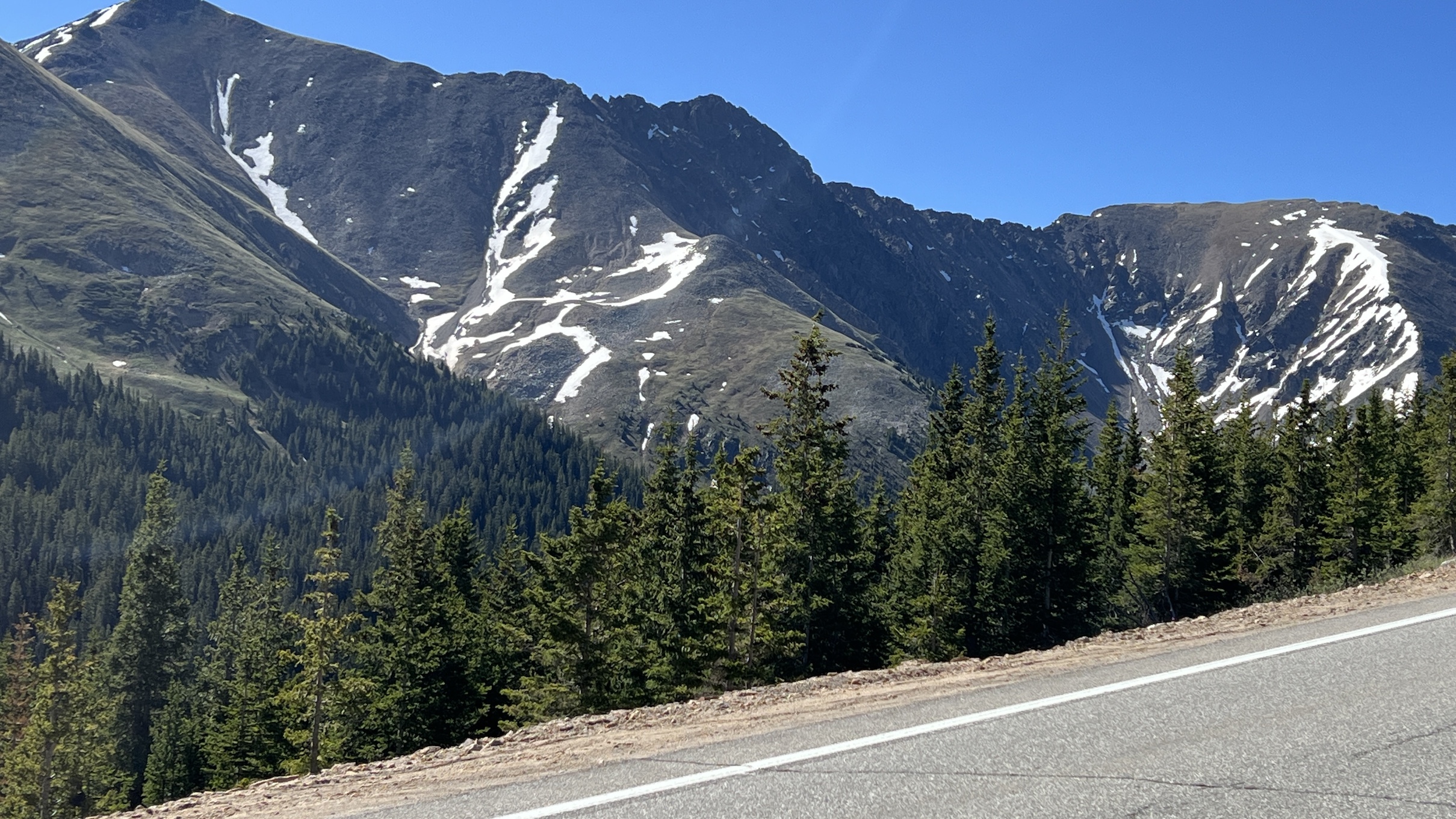
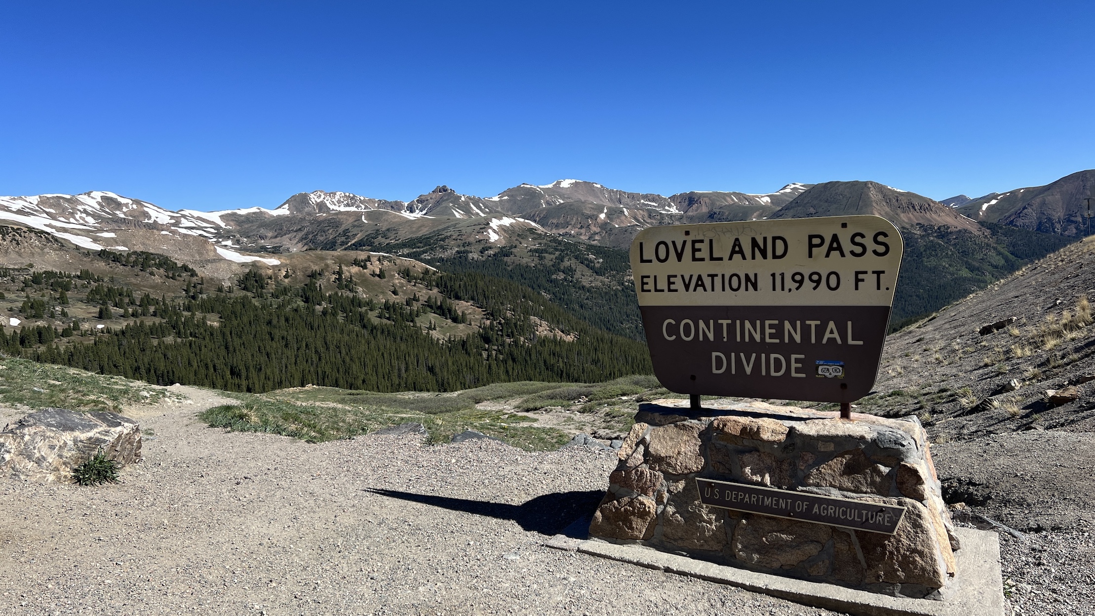
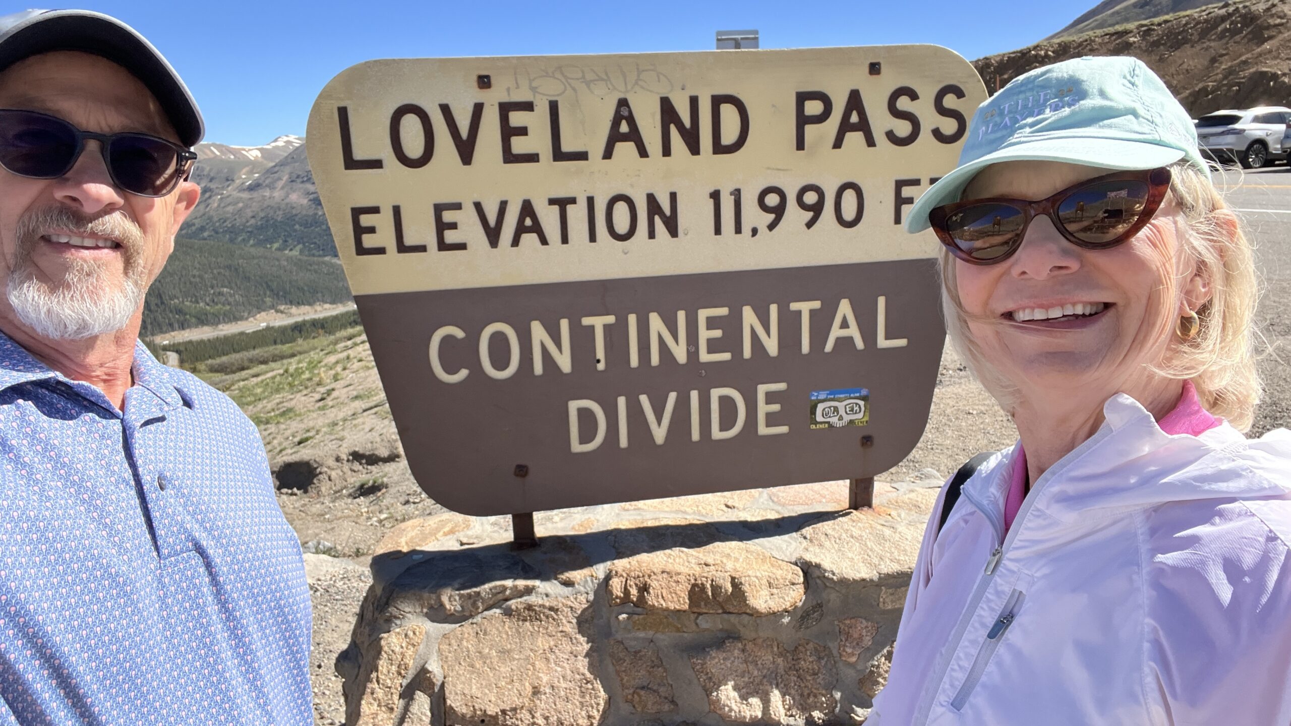
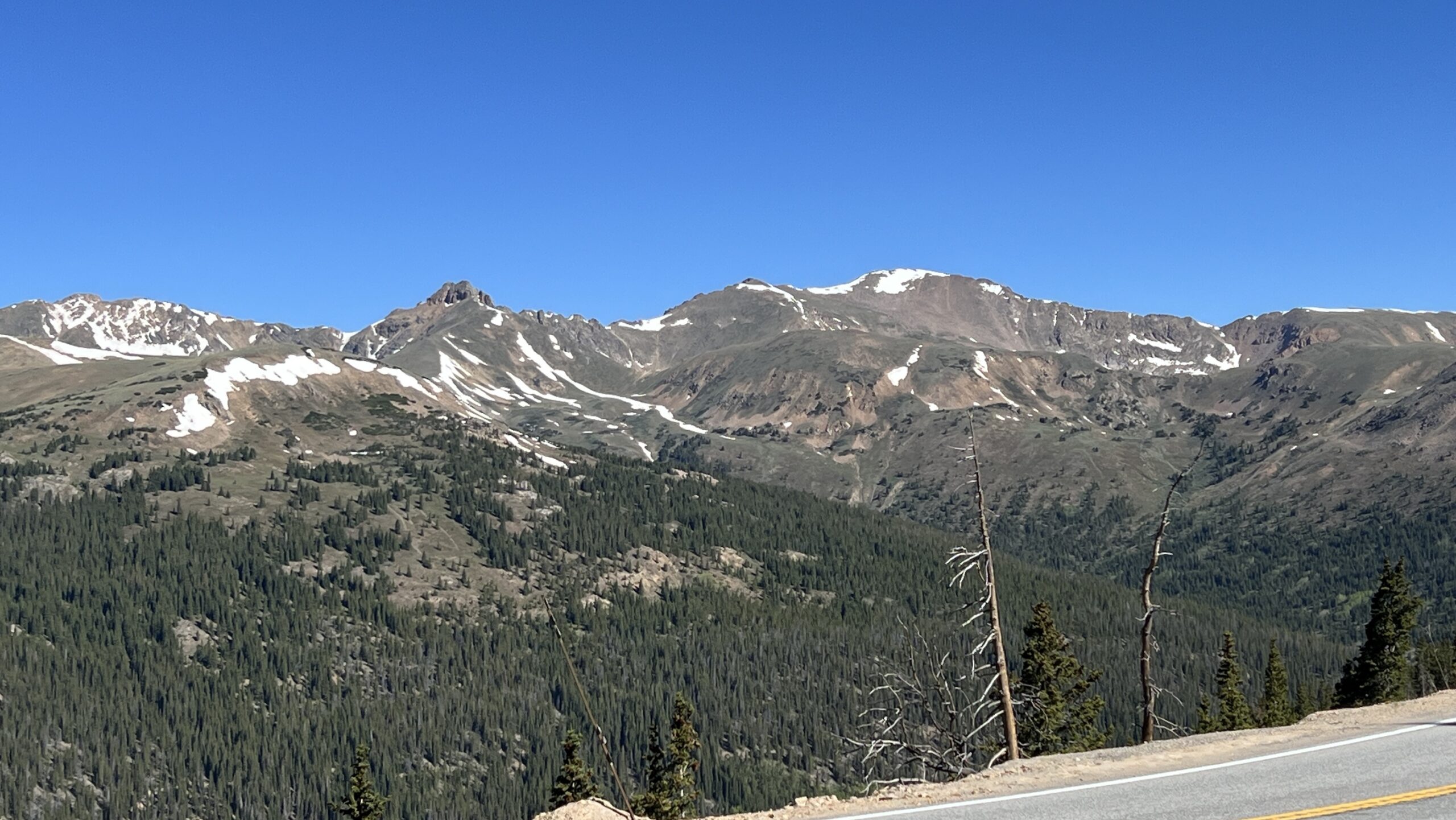
Our time in Frisco had come to an end, so it’s time to head home. Chuck decides to take the scenic route home. We took the Loveland Pass road to the interstate home. It only added about 25 minutes to our drive.
Take the long way home.
Recommendations for food
- Enza’s Delicatessen & Market: 358 Blue River Parkway, Silverthorne
Breakfast & Lunch.
We ordered the Pig & Fig and took it to our condo for supper. It was so good.
- Ein Prosit: Frisco on main street
A German restaurant that has delicious sausages and good beer. And, of course, hot yummy pretzels!
- Sauce on the Blue: 358 Blue River Parkway, Silverthorne
We had delicious Italian meal with a very good wine. The service was exceptional.
After dinner we took a stroll along the Blue River.
Make reservations ahead (call and request seating by the river). You can sit on the patio by the Blue River if the weather cooperates. Call or use Yelp Reservations.